Helsinki-Vantaa Airport Maps and Directions
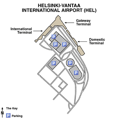
Helsinki-Vantaa Airport Map
Helsinki Area Map

Driving Directions
From Helsinki city centre, drive north along Tuusula road (Highway 45) and follow signs for the airport. From the west and the east, get on Highway E18 or Highway 50 and follow signs for the airport.
Featured Hotels